Tropical Storm Ivo Discussion Number 2...CORRECTED
NWS National Hurricane Center Miami FL EP102019
300 PM MDT Wed Aug 21 2019
Corrected storm ID in header block
Over the past several hours the cyclone has exhibited an ongoing
increase in organization, with a curved band wrapping around the
low level center apparent in both satellite imagery and microwave
data. The initial intensity has been increased to 40 kt and this
is a blend of the subjective Dvorak intensity estimates from TAFB
and SAB.
Ivo's initial motion is 285/17 kt. A mid-level ridge to the north of
the cyclone will continue to steer it to the west-northwest through
much of tonight. By Thursday, a weakness is expected to develop to
the northwest of the cyclone which will result in a turn to the
northwest with a decrease in forward speed. The cyclone is then
forecast to continue to move northwest through the remainder of the
forecast period.
Ivo will be over warm SSTs near 30C and in a moist environment for
the next 48 hours, which should favor intensification. And,
although the SHIPS guidance suggests 15 kt of northeasterly shear
may be affecting the cyclone, the satellite appearance does not
suggest that this shear is having much of impact at this time. Based
on the favorable environment, steady strengthening is forecast,
and Ivo is expected to become a hurricane by Friday. By 72 hours,
the cyclone will begin to move over much cooler waters and into a
stable air mass while undergoing increasing southwesterly shear.
This should cause the cyclone to weaken and it is expected to become
a convection-free post-tropical cyclone by day 5. The official
forecast has been increased slightly from the previous one and is
close to the corrected consensus HCCA.
Tropical Depression Ten-E Discussion Number 1
NWS National Hurricane Center Miami FL EP102019
900 AM MDT Wed Aug 21 2019
Satellite imagery and microwave data indicate that the disturbance
that has been tracked to the south of Mexico for the past several
days has become much better organized since yesterday. An early
morning scatterometer pass showed a nearly closed surface low with
peak winds of 30 kt. Since that time, the appearance of the
disturbance has continued to improve, suggesting that the low has
most likely closed at the surface. Based on this data, advisories
are being initiated for Tropical Depression 10-E. Subjective Dvorak
estimates from both TAFB and SAB suggest a 30 kt intensity, which
will be the initial intensity for this advisory.
The depression's initial motion is 285/16 kt. The cyclone is being
steered to the south of a mid-level ridge that extends from
northwestern Mexico across much of the eastern Pacific. Model
guidance is in good agreement that a weakness will develop in this
ridge over the next day or so to the northwest of the depression.
This should cause the system to make a turn to the northwest with a
decrease in forward speed in about 24 hours. The depression is
then forecast to continue to move northwest through the remainder
of the forecast period.
The cyclone is expected to move over very warm waters of around 30
C, through a moist environment, and with 10-15 kt of northeasterly
shear over the next 48 hours. With these conditions, steady
strengthening is forecast during that time frame, and the depression
is expected to become a tropical storm later today, and a minimal
hurricane in 48 hours. The official forecast is close to the
model intensity guidance consensus through 24 hours, and is then on
the higher end of the guidance from 24 to 72 hours out of respect
for a possible decrease in shear. In a few days the cyclone will
move over much cooler waters and into a stable air mass while
undergoing increasing shear. This will cause the cyclone to weaken
and it is expected to become a convection-free post-tropical
cyclone by day 5.
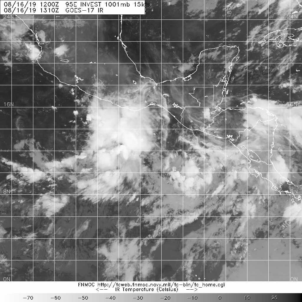
1. Showers and thunderstorms associated with a large low pressure
system located a couple of hundred miles south of the southern
coast of Mexico are beginning to show some signs of organization.
Environmental conditions are conducive for additional development,
and a tropical depression is likely to form during the next day or
so while the system moves west-northwestward at 10 to 15 mph,
parallel to and just offshore of the coast of Mexico. This system
could produce locally heavy rainfall along portions of the coast of
southern Mexico during the next day or two. Additional information
on this system can be found in High Seas Forecasts issued by the
National Weather Service.
* Formation chance through 48 hours...high...90 percent.
* Formation chance through 5 days...high...90 percent.