昨天18Z登陸越南,JMA 06Z停編熱帯低気圧 


|
中心只花了約2~3小時就穿越呂宋島


|
t02436 發表於 2019-8-27 23:51 感覺很像今年的丹娜絲颱風一樣 |
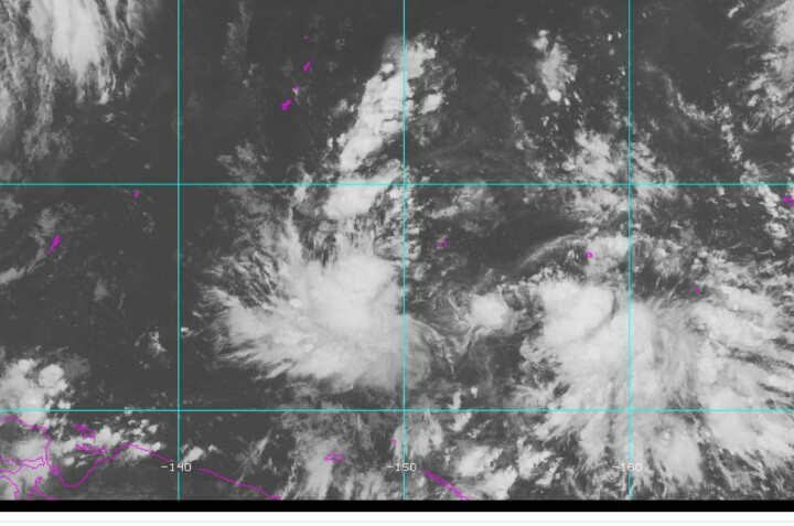
根據JMA15Z報,中心已登陸菲律賓呂宋島奧羅拉省,但PAGASA仍未發布消息。
Tropical Storm"Jenny" 

|
|
目前各大預報模式對於準玲玲颱風的生成位置還有很大的差異看法 所以未來是否會影響台灣地區一切都還言之過早 |
| 看來這颱風和下個颱風應該都會進入南海,這個緯度較低,侵襲海南島及越南機率較高。下一個擾動應該緯度會比這個高一點,且強度可能較強,所以下一個對廣東港澳威脅較大,甚至不排除會影響南部和東南部天氣(但侵襲仍然機率不高),至於北部基本上今年風季結束機率已高達九成(東北季風共拌另類侵襲除外),看來我之前在利奇馬走後所言的已逐漸成真。 |

Tropical Storm"Jenny" Tropical Cyclone: WARNING Issued at 02:00 pm, 27 August 2019 "JENNY" MAINTAINS IT STRENGTH AS IT CONTINUES TO MOVE CLOSER TOWARDS CENTRAL LUZON.
|