Tropical Storm Victor Discussion Number 3
NWS National Hurricane Center Miami FL AL202021
200 AM CVT Thu Sep 30 2021
Victor has changed little in organization since the last advisory,
with a large circulation and a complex of convective bands mainly in
the northern semicircle. Satellite intensity estimates from TAFB
and SAB remain at or near 35 kt, as do other objective intensity
estimates. Thus, the initial intensity is still 35 kt, although the
most recent ASCAT-A data suggests the possibility that this is a
little generous.
The center has moved or re-formed a bit to the west during the past
several hours, although the longer-term motion still seems to be to
the west-northwest at 290/11 kt. Other than the more westerly
initial position, there is little change to the forecast philosophy
or the forecast track since the last advisory. Victor is forecast
to move west-northwestward for the next 36 h or so as it is steered
by the flow on the south side of a deep-layer ridge. By 48 h, the
global models forecast the western periphery of the ridge to get
eroded by to a mid- to upper-level low over the subtropical central
Atlantic. This evolution should cause the cyclone to turn
northwestward at that time, followed by a northward turn by the end
of the forecast period. There remains a fair amount of spread in
the timing and location of the northward turn with the GFS and HWRF
still on the right side of the guidance envelope and the ECMWF
showing the slowest and westernmost solution. The new forecast track
is in the center of the guidance envelope and lies very close to the
various consensus models.
For the next 36-48 h, Victor is expected to remain in an environment
of warm sea surface temperatures and light vertical wind shear.
This should allow steady strengthening, and rapid strengthening
cannot be ruled out if the storm develops a better defined inner
core. Based on a steady strengthening scenario, the new intensity
forecast is identical to the previous one, taking Victor to
hurricane intensity in 36 h with a peak intensity of 70 kt in 48 h.
After that time, the aforementioned upper-level low is expected to
cause significant shear over Victor while the cyclone moves into a
drier air mass. This combination should cause the cyclone to
weaken, and it is possible Victor could weaken faster than currently
forecast after 60 hours. The new official intensity forecast lies
near the upper edge of the intensity guidance.
Tropical Depression Twenty Discussion Number 1
NWS National Hurricane Center Miami FL AL202021
200 PM CVT Wed Sep 29 2021
The area of low pressure located over the far eastern tropical
Atlantic that NHC has been monitoring has now become a tropical
depression, the twentieth tropical cyclone of the 2021 Atlantic
hurricane season. Satellite images indicate that the system is
producing a large area of showers and thunderstorms that have become
fairly well organized around the center. An ASCAT-A pass from a
few hours ago indicated that the system now has a well-defined
circulation and that the radius of maximum wind is 30-40 n mi north
of the center. The initial intensity is set at 30 kt based on the
ASCAT data and the T2.0/30 kt Dvorak classifications from TAFB and
SAB. The minimum pressure of 1007 mb is partially based on data
from a ship report that passed near the depression.
Based on satellite fixes, the depression appears to be moving
west-northwestward at about 12 kt. The system is currently located
on the south side of a deep-layer ridge, and that feature should
keep the cyclone on a west-northwest track during the next couple of
days. After that time, the models show a mid- to upper-level low
developing over the central tropical Atlantic, which erodes the
western portion of the ridge. This change in the steering flow
should cause the system to turn northwestward on Friday and then
northward toward the end of the forecast period. Although the
models generally agree on the evolution of the large-scale pattern,
there are notable differences in the details, which leads to a fair
amount of spread concerning when and where the turn to the north
occurs. The GFS is farthest east while the ECMWF shows the
westernmost solution. The NHC track forecast lies between those
models and is near the TVCA multi-model consensus.
The depression is expected to remain in conducive environmental
conditions for strengthening during the next 2 or 3 days. During
that time period, the storm is forecast to move over 28-29 deg C
waters while embedded within an airmass of high mid-level moisture
and very low wind shear (less than 10 kt). Therefore, steady
strengthening seems likely, and the NHC forecast brings the system
to a tropical storm by tonight and a hurricane in a couple of days.
Beyond a few days, however, the models show a pronounced increase
in southwesterly shear and a notably drier atmosphere. These
unfavorable conditions should end the opportunity for strengthening
and promote a weakening trend. The NHC intensity forecast is a near
a blend of the HCCA, IVCN, and IVDR consensus models.
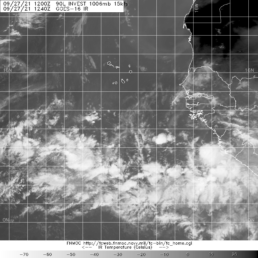
1. Recent satellite-derived surface wind data indicate that the low
pressure system located over the far eastern tropical Atlantic
several hundred miles south of the Cabo Verde Islands is gradually
becoming better defined. The associated showers and thunderstorms
are showing signs of organization, and a tropical depression is
expected to form during the next day or so while the disturbance
moves west-northwestward at 10 to 15 mph over the eastern tropical
Atlantic.
* Formation chance through 48 hours...high...90 percent.
* Formation chance through 5 days...high...90 percent.
2. Showers and thunderstorms are showing signs of organization in
association with a tropical wave and broad area of low pressure
located over the far eastern tropical Atlantic. Environmental
conditions are conducive for development, and a tropical depression
is likely to form in a day or two while the disturbance moves
west-northwestward at 10 to 15 mph over the eastern tropical
Atlantic.
* Formation chance through 48 hours...high...80 percent.
* Formation chance through 5 days...high...90 percent.