Tropical Depression Fernand Discussion Number 7
NWS National Hurricane Center Miami FL AL072019
400 PM CDT Wed Sep 04 2019
Fernand moved inland a few hours ago, and the surface center is
already showing signs of becoming poorly defined. The intensity is
now estimated at 30 kt, assuming weakening has occurred since the
cyclone moved inland. This makes Fernand a Tropical Depression. The
depression should move westward or west-northwestward for the next
12 h or so while it continues to weaken, and it could dissipate as
soon as tonight.
Although the winds have decreased and the depression will likely
dissipate soon, Fernand is still producing substantial convection
and continues to pose a significant rain threat to northeast Mexico.
Life-threatening flash floods and mudslides will be possible through
Thursday, even after Fernand dissipates. Please consult products
from you local weather service for more information on the potential
rainfall hazard.
Potential Tropical Cyclone Seven Discussion Number 1
NWS National Hurricane Center Miami FL AL072019
400 AM CDT Tue Sep 03 2019
Overnight scatterometer wind data and infrared satellite imagery
indicate that the broad low pressure system located over the
west-central and southwestern Gulf of Mexico is gradually becoming
better defined, but still lacks a well-defined center. However, the
scatterometer indicated surface winds of 30-33 kt in the
northwestern quadrant and observations from Buoy 42002 north of the
center have been indicating wind speeds of 25-27 kt at 4-meter
elevation. Based on these data, advisories are being initiated on
Potential Cyclone Seven. The initial motion estimate is an uncertain
260/06 kt. The general motion of the broad low is expected to be
westward, being steered by a deep-layer ridge located over the
southern United States. It is possible, however, that an apparent
west-northwestward motion could occur if the low-level center
redevelops farther north into the deep convection. The NHC forecast
track is similar to, but a little north of, the consensus model
TVCN.
Some slight strengthening is forecast during then next 36-48 hours
before the low moves inland over northeastern Mexico. However, the
broad and large circulation should prevent any rapid intensification
from occurring. The official intensity forecast is similar to the
IVCN consensus model.
The primary threat from this system will be heavy rainfall that
could produce flooding and mudslides, especially in mountainous
areas.
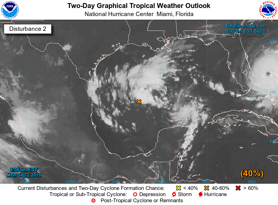
2. Showers and thunderstorms associated with a large low pressure
system located over the west-central Gulf of Mexico about 200 miles
east-northeast of Tampico, Mexico, is showing signs of organization.
Environmental conditions are conducive for a tropical depression to
form during the next day or so while the low moves slowly westward
or west-southwestward toward Mexico. Interests along the
northeastern coast of Mexico should monitor the progress of this
system. A NOAA reconnaissance aircraft is scheduled to investigate
the disturbance this afternoon, if necessary.
* Formation chance through 48 hours...high...80 percent.
* Formation chance through 5 days...high...80 percent.
2. An extensive area of showers and thunderstorms continues in
association with an area of low pressure located over the
south-central Gulf of Mexico. Environmental conditions appear
conducive for additional development, and a tropical depression is
likely to form during the next few days while the low moves
slowly westward or west-southwestward toward the coast of Mexico.
Interests along the northeast coast of Mexico should monitor the
progress of this system.
* Formation chance through 48 hours...medium...60 percent.
* Formation chance through 5 days...high...70 percent.