1. A tropical wave located near the Windward Islands has continued to
become less organized this morning and development of the system is
not expected. Locally heavy rainfall and gusty winds will be
possible across portions of the central and northern Lesser
Antilles today.
* Formation chance through 48 hours...low...near 0 percent.
* Formation chance through 5 days...low...near 0 percent.
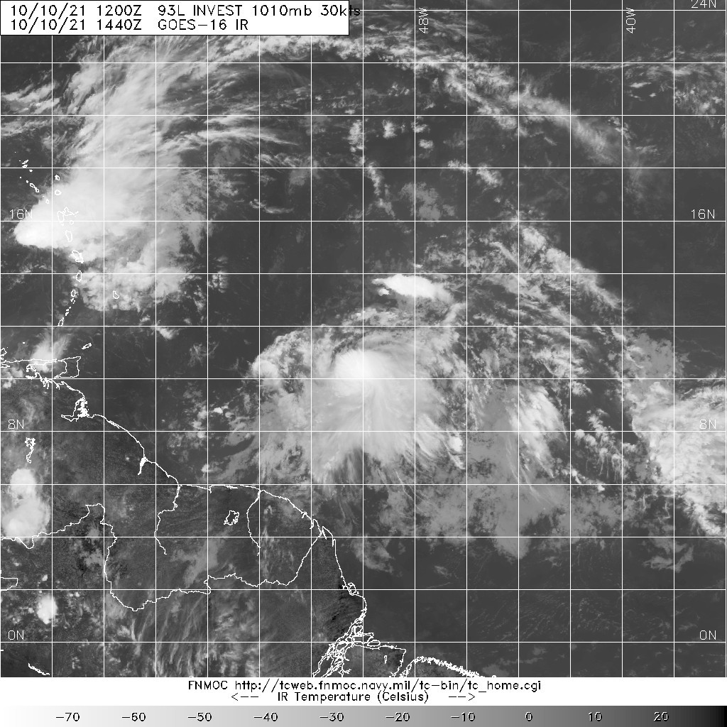
1. Satellite-derived wind data indicate that the tropical wave,
located a little over 150 miles east of the Windward Islands, has
become less defined overnight. While this system continues to
produce showers and thunderstorms primarily east of its center,
strong upper-level winds will likely prevent further development
during the next couple of days. Regardless of development, the
system could produce locally heavy rainfall and gusty winds across
portions of the central and northern Lesser Antilles today.
* Formation chance through 48 hours...low...10 percent.
* Formation chance through 5 days...low...10 percent.