A well-structured tropical low lies over the northern Kimberley near Wyndham BoM展望預計兩天後會出海發展 但不排除也有陸上減弱的可能 只是這螺旋性會不會太猛了點="= |
|
本帖最後由 ... 於 2014-2-8 02:37 編輯 目前95S在登陸後先是向東 而又向西回頭 來到先前登陸點附近 結構仍可 可能接下來會出海起死回生喔@@ 不過EC認為它將一路貼在澳洲陸地旁 (此張是+96 而在這之後再次登陸 --------------------------------------------------------------------------------- 底下是雷達圖 真的頗誇張 |
|
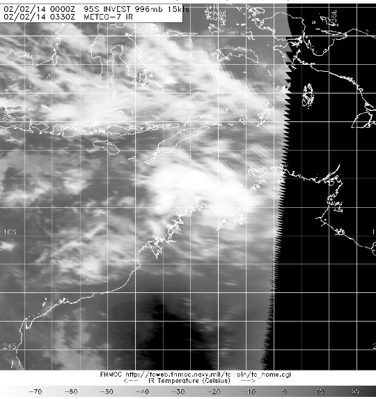
JTWC:REMAINS LOW (2) THE AREA OF CONVECTION PREVIOUSLY LOCATED NEAR 16.3S 132.4E, IS NOW LOCATED NEAR 17.6S 131.9E, APPROXIMATELY 325 NM SOUTH-SOUTHEAST OF DARWIN, AUSTRALIA. ANIMATED INFRARED SATELLITE IMAGERY INDICATES THE LLCC IS MAINTAINING A GOOD OVERALL STRUCTURE DESPITE CONTINUING TO TRACK INLAND. RADAR LOOP FROM HALLS CREEK DEPICTS THE DISTURBANCE IS CURRENTLY SLOWING DOWN AND LOOPING BACK TO THE NORTHWEST TOWARDS THE COAST, NEAR WYNDHAM. MAXIMUM SUSTAINED SURFACE WINDS ARE ESTIMATED AT 20 TO 25 KNOTS. MINIMUM SEA LEVEL PRESSURE IS ESTIMATED TO BE NEAR 998 MB. BASED ON THE SYSTEM BEING OVERLAND AND TRACKING TOWARDS THE COAST, THE POTENTIAL FOR THE DEVELOPMENT OF A SIGNIFICANT TROPICAL CYCLONE WITHIN THE NEXT 24 HOURS REMAINS LOW. |
|
這隻雖然已經深入陸地 稍早的可見光可以看到明顯的LLCC 代表進入陸地之後結構並未遭受太大的傷害 對流在剛剛再度爆發 會不會有什麼奇蹟 值得繼續看下去 |
|
Potential Cyclones: At 1:00 pm EST [12:30 pm CST] Tuesday 4 February, Ex-Tropical Cyclone Fletcher was located over land, near the far southeast Gulf of Carpentaria at 16.9S 141.3E, about 80 northeast of Karumba, Queensland. Refer to the latest tropical cyclone warnings for further details [www.bom.gov.au/cyclone]. This low is expected to move west southwest over the far southeast Gulf of Carpentaria later today and may briefly redevelop into a tropical cyclone overnight Tuesday, before moving across the Queensland Gulf Country during Wednesday, then further west over the eastern Roper-McArthur or Barkly District of the Northern Territory later on Wednesday or Thursday. This low is expected to weaken as it moves inland and will weaken within the monsoon trough by Friday. Likelihood of this low being a tropical cyclone in the Northern Region on: Wednesday Moderate Thursday Low Friday Low At 12:30 pm CST Tuesday 4 February, another tropical low, 996 hPa, was located near 15.5S 132.3E, about 100 km west of Larrimah and moving east southeast at 14 km/h. This low is expected to continue moving east southeast to be located over the Roper-McArthur District during Wednesday, then remain slow moving over the eastern Roper-McArthur District during Thursday and Friday. By Saturday, this low is expected to move west again. Although the low is expected to remain over land, there is a possibility the low will move over the southwest Gulf of Carpentaria on Thursday or Friday as it interacts with Ex-Tropical Cyclone Fletcher, prior to recurving back to the west. For this reason, there is a moderate risk that the low may develop into a tropical cyclone. Likelihood of this low being a tropical cyclone in the Northern Region on: Wednesday Low Thursday Moderate Friday Moderate |