|
|
基本資料
編號 :91 E
擾動編號日期:2022 年 08 月 22 日 02 時
撤編日期 :2022 年 00 月 00 日 00 時
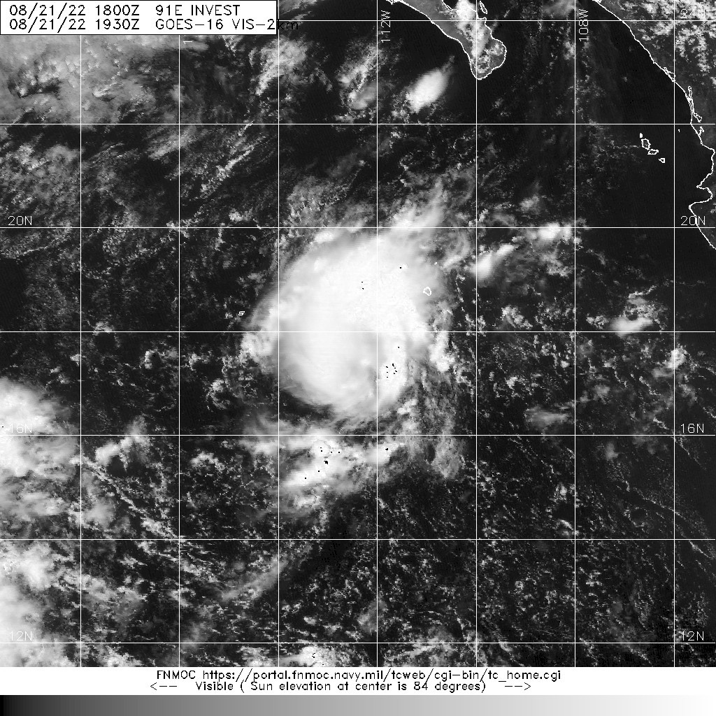
91E.INVEST.25kts-1012mb-17.5N-112.4W

1. Central East Pacific:
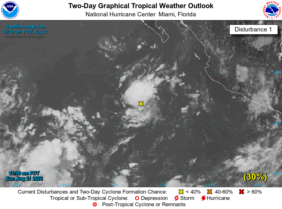
Showers and thunderstorms have become more concentrated today in
association with an area of low pressure located a few hundred miles
south of the southern tip of the Baja California peninsula. Some
additional development of this system is possible over the next
couple of days as it moves west-northwestward or northwestward, well
offshore of the coast of Mexico. By midweek, cooler waters and dry
air should end the chance for any further development.
* Formation chance through 48 hours...low...30 percent.
* Formation chance through 5 days...low...30 percent. 
|
評分
-
查看全部評分
|