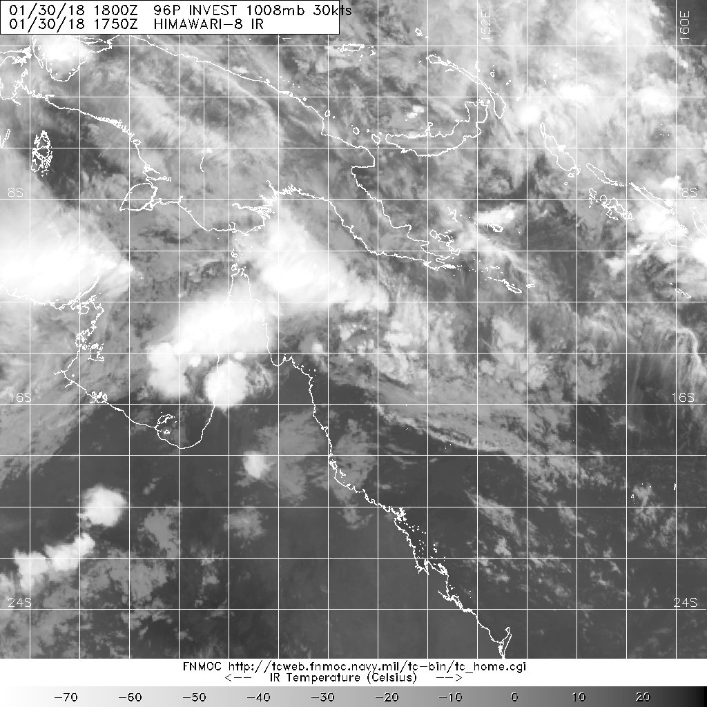
(1) THE AREA OF CONVECTION (INVEST 96P) PREVIOUSLY LOCATED
NEAR 13.8S 152.2E, HAS DISSIPATED AND IS NO LONGER SUSPECT FOR THE
DEVELOPMENT OF A SIGNIFICANT TROPICAL CYCLONE IN THE NEXT 24 HOURS.
Tropical Cyclone Outlook for Coral Sea
Issued at 2:30 pm EST on Tuesday 30 January 2018
for the period until midnight EST Friday 2 February 2018.
Existing Cyclones in the Eastern Region:
None.
Potential Cyclones:
There are no significant lows currently in the region and none are expected to develop today or during Wednesday. Strengthening monsoon flow in the northwest Coral Sea will increase the chance of tropical cyclone development from Thursday, more likely along the monsoon trough.
Likelihood of a tropical cyclone in the Eastern Region on:
Wednesday:Very Low
Thursday:Moderate
Friday:High
Conditions for tropical cyclone development, or a tropical cyclone to persist, remain favourable over the weekend, with the best chance along the monsoon trough in the northern Coral Sea.