簽到天數: 3291 天 [LV.Master]伴壇終老
|
 t02436|2017-2-7 14:54
|
顯示全部樓層
BoM在展望中編號15U
Potential Cyclones:
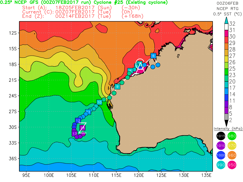
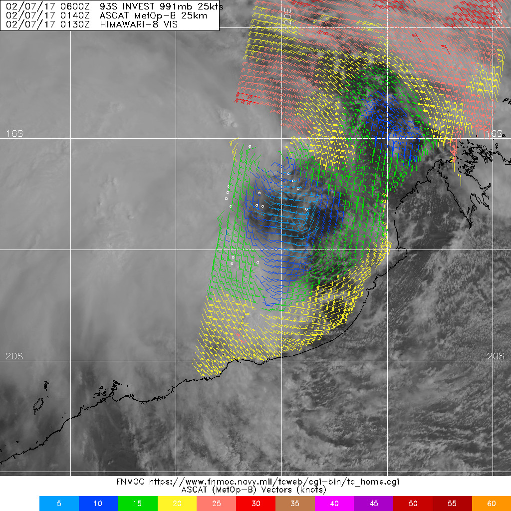
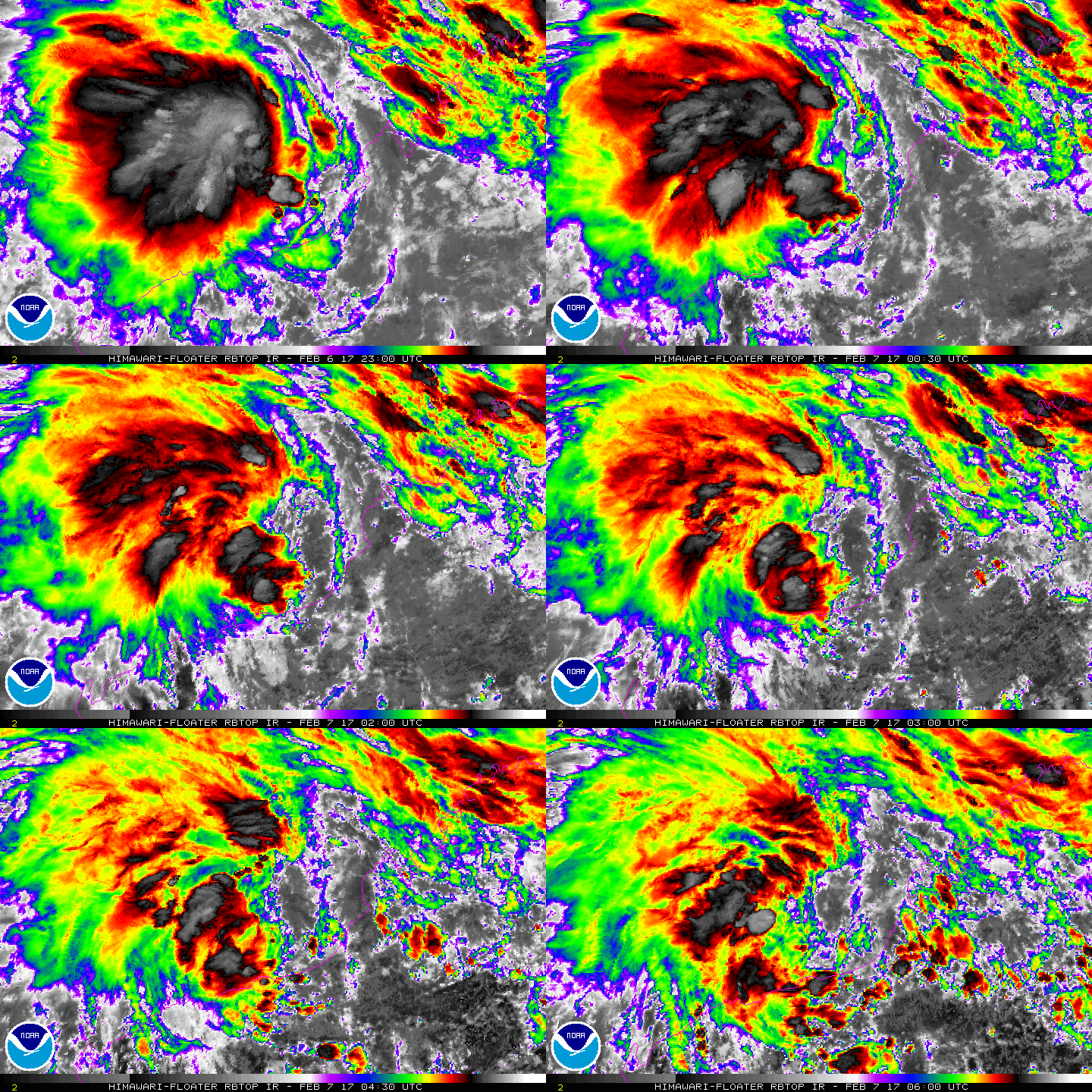
At 2pm WST Tuesday, a weak tropical low (15U), 988hPa, was located near 17.4S 120.1E, about 230 kilometres west northwest of Broome and 360 kilometres north northeast of Port Hedland. Recent movement has been to the west southwest at about 9 kilometres per hour.
The low is expected to move in a southwesterly direction through the remainder of today and on Wednesday, towards the Pilbara coast. The low should cross the Pilbara coast during Wednesday, somewhere between Pardoo and Mardie. By this stage it is unlikely to have developed into a tropical cyclone.
Even though the low is not expected to develop into a tropical cyclone, gales are possible in the northern and eastern quadrants. As a result, damaging winds, heavy rainfall and dangerous surf conditions are possible along the coast between Cape Leveque and Port Hedland, including Broome. A Severe Weather Warning [IDW20032] is current; refer to www.bom.gov.au/wa/warnings/ for more details.
Heavy rainfall is expected with the passage of the low and with the vigorous monsoonal flow to the north of the low. Various Flood Warnings are current across the Kimberley and Pilbara; refer to www.bom.gov.au/wa/warnings/ for more details.
The likelihood of this system being a tropical cyclone in the Western Region on:
Wednesday: Low
Thursday: Low
Friday: Low


|
|