The forecast path shown above is the Bureau's best estimate of the cyclone's future movement and intensity. There is always some uncertainty associated with tropical cyclone forecasting and the grey zone indicates the range of likely tracks of the cyclone centre.
Due to the uncertainty in the future movement, the indicated winds will almost certainly extend to regions outside the rings on this map. The extent of the warning and watch zones reflects this.
This product is designed for land-based communities; mariners should read the coastal waters and high seas warnings.
Headline:
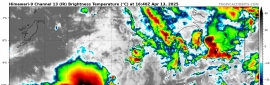
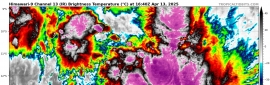
Tropical Cyclone Joshua continues to move to the west southwest across the central Indian Ocean and is now out of the Australian region.
Areas affected:
Warning zone: None.
Watch zone: None.
Cancelled zones: None.
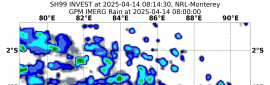
Details of Tropical Cyclone Joshua at 2:00 pm AWST:
Intensity: category 1, sustained winds near the centre of 75 kilometres per hour with wind gusts to 100 kilometres per hour.
Location: within 30 kilometres of 18.1 degrees South, 89.9 degrees East , 990 kilometres southwest of Cocos Island .
Movement: west southwest at 15 kilometres per hour .
The cyclone will continue moving towards the west southwest and has now moved outside the Australian region. Further information on this system will be available from Meteo France La Reunion RSMC.
Vents maximaux (moyennés sur 10 minutes) estimés sur mer: 75 km/h.
Rafales maximales estimées sur mer: 100 km/h.
Pression estimée au centre: 994 hPa.
Position le 17 janvier à 16 heures locales: 18.3 Sud / 89.1 Est.
Distance des côtes réunionnaises: 3490 km au secteur: EST
Distance de Mayotte: 4740 km au secteur: EST-SUD-EST
Déplacement: OUEST, à 15 km/h.
Informations sur le système :
1) JOSHUA est une tempête tropicale modérée venant du bassin australien et baptisée suivant la nomenclature de ce bassin.
2) Le système ne présente qu'un faible potentiel d'intensification à courte échéance.
3) Il n'est pas prévu qu'il concerne des terres émergées au cours des prochains 5 jours.
Voici les intensités et positions prévues de ce système dépressionnaire au cours des prochains jours:
TEMPETE TROPICALE MODEREE,
Centre positionné le 18/01 à 16h locales, par 18.9 Sud / 85.8 Est.
DEPRESSION TROPICALE,
Centre positionné le 19/01 à 16h locales, par 19.0 Sud / 81.6 Est.
DEPRESSION SE COMBLANT,
Centre positionné le 20/01 à 16h locales, par 20.3 Sud / 77.2 Est.
DEPRESSION RESIDUELLE,
Centre positionné le 21/01 à 16h locales, par 22.1 Sud / 73.4 Est.