簽到天數: 1650 天 [LV.Master]伴壇終老
|
 老農民版夜神月|2020-8-18 00:40
|
顯示全部樓層
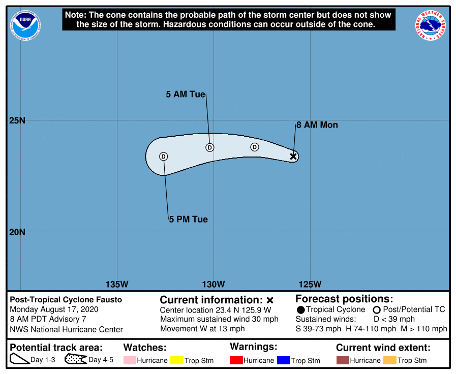
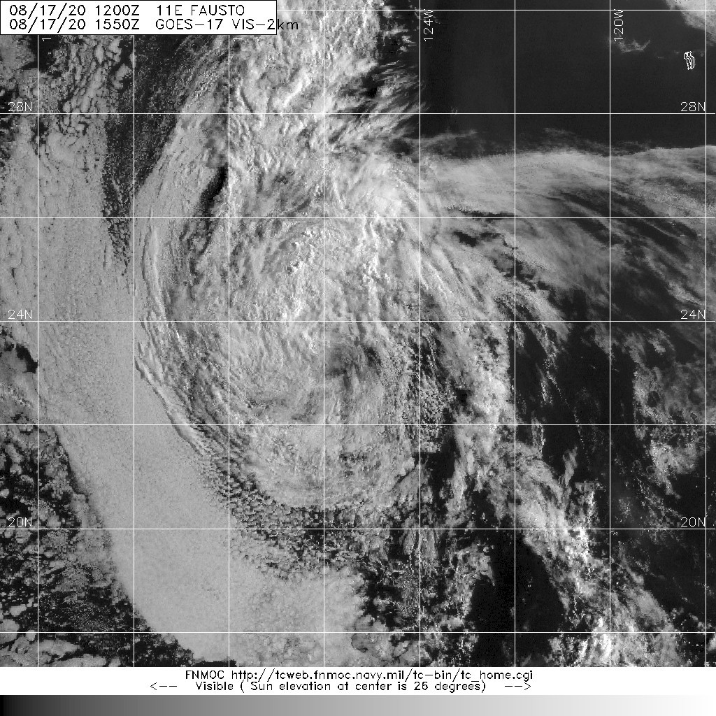
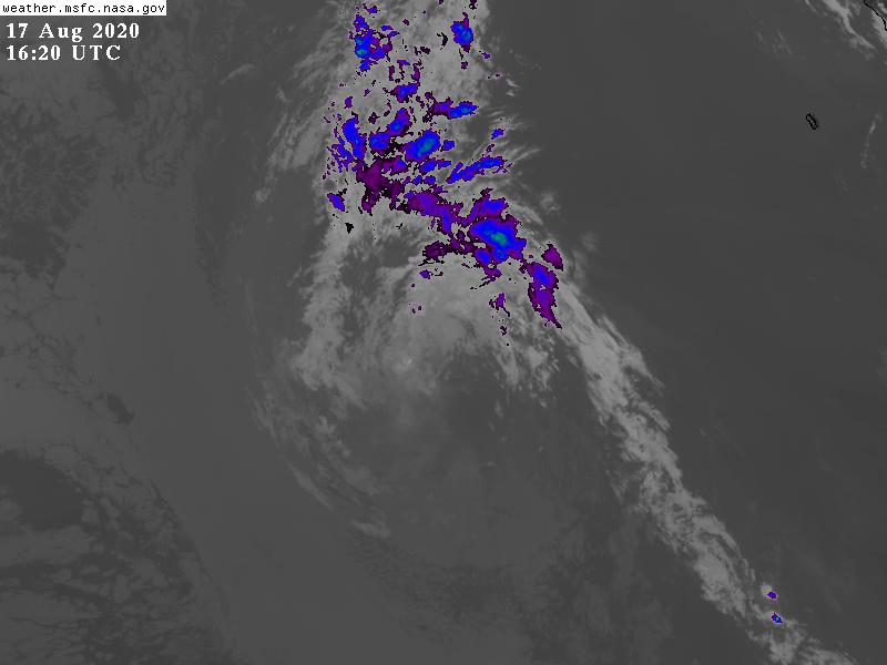
NHC判定於15Z已成為後熱帶氣旋(殘餘低氣壓)
WTPZ41 KNHC 171451
TCDEP1
Post-Tropical Cyclone Fausto Discussion Number 7
NWS National Hurricane Center Miami FL EP112020
800 AM PDT Mon Aug 17 2020
Fausto has been absent of deep convection for about 12 hours, and
with the system over SSTs below 23 degrees Celsius, it is unlikely
organized deep convection will return. Therefore, Fausto has
become a remnant low, and this will be the final NHC advisory on
this system. The initial wind speed has been set at 25 kt, which
is a blend of the TAFB Dvorak T- and CI-numbers. The low should
continue to spin down over cooler waters over the next day or so,
and the global models indicate it will dissipate by Wednesday
morning.
The initial motion estimate is now westward or 280/11 kt. The
remnant low should turn west-southwestward on Tuesday while it
continues to weaken and comes under the influence of the
low-level trade wind flow. The track guidance remains in good
agreement, and the NHC forecast is close to the multi-model
consensus.
This is the last NHC advisory on Fausto. For additional
information on the remnant low please see High Seas Forecasts
issued by the National Weather Service, under AWIPS header
NFDHSFEPI, WMO header FZPN02 KWBC, and on the web
at ocean.weather.gov/shtml/NFDHSFEPI.php
FORECAST POSITIONS AND MAX WINDS
INIT 17/1500Z 23.4N 125.9W 25 KT 30 MPH...POST-TROPICAL
12H 18/0000Z 23.8N 127.9W 20 KT 25 MPH...POST-TROP/REMNT LOW
24H 18/1200Z 23.8N 130.2W 20 KT 25 MPH...POST-TROP/REMNT LOW
36H 19/0000Z 23.4N 132.6W 15 KT 15 MPH...POST-TROP/REMNT LOW
48H 19/1200Z...DISSIPATED
$$
Forecaster Brown 


|
|